
Account: R0371586
May 4, 2024
| Account | Parcel | Space | Account Type | Tax Year | Buildings | Actual Value | Assessed Value |
|---|---|---|---|---|---|---|---|
| R0371586 | 045724000008 | Agricultural | 2024 | 1 | 18,741 | 4,940 |
| Legal |
|---|
| 14805 NW4NE4/NE4NW4/W2NW4 24 9 65 (2R) |
| Subdivision | Block | Lot | Land Economic Area |
|---|---|---|---|
| NE ECON 7 RURAL |
| Property Address | Property City | Zip | Section | Township | Range |
|---|---|---|---|---|---|
| 23270 COUNTY ROAD 104 | WELD | 24 | 09 | 65 |
| Account | Parcel | Space | Account Type | Tax Year | Buildings | Actual Value | Assessed Value |
|---|---|---|---|---|---|---|---|
| R0371586 | 045724000008 | Agricultural | 2024 | 1 | 18,741 | 4,940 |
| Account | Owner Name | Address |
|---|---|---|
| R0371586 | BARFOOT CORY B | 23270 COUNTY ROAD 104 AULT, CO 806109200 |
| Account | Parcel | Space | Account Type | Tax Year | Buildings | Actual Value | Assessed Value |
|---|---|---|---|---|---|---|---|
| R0371586 | 045724000008 | Agricultural | 2024 | 1 | 18,741 | 4,940 |
| Reception | Rec Date | Type | Grantor | Grantee | Doc Fee | Sale Date | Sale Price |
|---|---|---|---|---|---|---|---|
| 02008751 | 05-07-1985 | WDN | 0.00 | 01-01-1900 | 0 | ||
| 1351676 | 03-26-1975 | WDN | 0.00 | 03-26-1975 | 0 | ||
| 2188796 | 08-17-1989 | WD | BARFOOT LELAND A AKA ALFRED B | BARFOOT LORRIN & RUTH | 1.96 | 08-17-1989 | 19,600 |
| 2542715 | 04-14-1997 | OTH | BARFOOT LORRIN & RUTH | BARFOOT LORRIN & RUTH | 0.00 | 01-01-1900 | 0 |
| 3559211 | 06-06-2008 | QCN | BARFOOT RUTH | BARFOOT RUTH TRUST | 0.00 | 05-22-2008 | 0 |
| 4481389 | 04-16-2019 | BSDN | BARFOOT RUTH TRUST | BARFOOT CORY B | 0.00 | 04-10-2019 | 0 |
| X0002387 | 05-07-1985 | WD | JANSSEN WILLIS W | BARFOOT LELAND A AKA ALFRED B | 3.20 | 05-07-1985 | 32,000 |
*If the hyperlink for the reception number does not work, try a manual search in the Clerk and Recorder records. Use the Grantor or Grantee in your search.
| Account | Parcel | Space | Account Type | Tax Year | Buildings | Actual Value | Assessed Value |
|---|---|---|---|---|---|---|---|
| R0371586 | 045724000008 | Agricultural | 2024 | 1 | 18,741 | 4,940 |
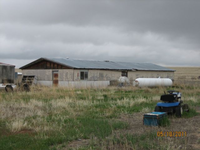
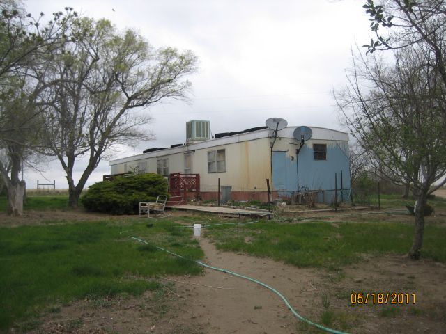
Building 2
| AccountNo | Building ID | Occupancy |
|---|---|---|
| R0371586 | 2 | Shed - Utility |
| ID | Type | NBHD | Occupancy | % Complete | Bedrooms | Baths | Rooms |
|---|---|---|---|---|---|---|---|
| 2 | Out Building | 7801 | Shed - Utility | 100 | 0 | 0 |
| ID | Exterior | Roof Cover | Interior | HVAC | Perimeter | Units | Unit Type | Make |
|---|---|---|---|---|---|---|---|---|
| 2 | None | 0 | 0 |
| ID | Square Ft | Condo SF | Total Basement SF | Finished Basement SF | Garage SF | Carport SF | Balcony SF | Porch SF |
|---|---|---|---|---|---|---|---|---|
| 2 | 1 | 0 | 0 | 0 | 0 | 0 | 0 | 0 |
| ID | Built As | Square Ft | Year Built | Stories | Length | Width |
|---|---|---|---|---|---|---|
| 2.00 | Shed - Utility | 1 | 0 | 0 | 0 | 0 |
No Additional Details for Building 2
| Account | Parcel | Space | Account Type | Tax Year | Buildings | Actual Value | Assessed Value |
|---|---|---|---|---|---|---|---|
| R0371586 | 045724000008 | Agricultural | 2024 | 1 | 18,741 | 4,940 |
| Type | Code | Description | Actual Value | Assessed Value | Acres | Land SqFt |
|---|---|---|---|---|---|---|
| Improvement | 4279 | FARM RANCH SUPPORT BLDGS | 500 | 130 | 0.000 | 0 |
| Land | 4127 | DRY FARM LAND-AGRICULTURAL | 17,930 | 4,730 | 141.000 | 6,141,960 |
| Land | 4147 | GRAZING LAND-AGRICULTURAL | 311 | 80 | 17.000 | 740,520 |
| Totals | - | - | 18,741 | 4,940 | 158.000 | 6,882,480 |
Comparable sales for your Residential or Commercial property may be found using our SALES SEARCH TOOL
| Account | Parcel | Space | Account Type | Tax Year | Buildings | Actual Value | Assessed Value |
|---|---|---|---|---|---|---|---|
| R0371586 | 045724000008 | Agricultural | 2024 | 1 | 18,741 | 4,940 |
| Tax Area | District ID | District Name | Current Mill Levy |
|---|---|---|---|
| 0915 | 0700 | AIMS JUNIOR COLLEGE | 6.336 |
| 0915 | 1050 | HIGH PLAINS LIBRARY | 3.196 |
| 0915 | 0514 | NUNN FIRE | 4.000 |
| 0915 | 0209 | SCHOOL DIST RE9-AULT | 23.282 |
| 0915 | 0100 | WELD COUNTY | 12.024 |
| 0915 | 1200 | WEST GREELEY CONSERVATION | 0.414 |
| Total | - | - | 49.252 |

.JPG)

Get additional detail with the Map Search.