Account: R2681886
April 4, 2026
| Account | Parcel | Account Type | Tax Year | Buildings | Actual Value | Local Govt Assessed Value | School Assessed Value |
|---|---|---|---|---|---|---|---|
| R2681886 | 095926321012 | Residential | 2026 | 80,000 | 5,000 | 5,640 |
| Legal |
|---|
| 1WHP10-38 L38 BLK10 WEST HILL-N-PARK 1ST FILING 1ST REPLAT |
| Subdivision | Block | Lot | Land Economic Area |
|---|---|---|---|
| WEST HILL N PARK 1ST FG 1ST RPLT | 10 | 38 | HILL N PARK |
| Property Address | Property City | Section | Township | Range |
|---|---|---|---|---|
| 4388 BLACK CANYON CT | WELD | 26 | 05 | 66 |
| Account | Parcel | Account Type | Tax Year | Buildings | Actual Value | Local Govt Assessed Value | School Assessed Value |
|---|---|---|---|---|---|---|---|
| R2681886 | 095926321012 | Residential | 2026 | 80,000 | 5,000 | 5,640 |
| Account | Owner Name | Address |
|---|---|---|
| R2681886 | HART RONALD J | 15840 RIVERDALE RD BRIGHTON, CO 806028217 |
| Account | Parcel | Account Type | Tax Year | Buildings | Actual Value | Local Govt Assessed Value | School Assessed Value |
|---|---|---|---|---|---|---|---|
| R2681886 | 095926321012 | Residential | 2026 | 80,000 | 5,000 | 5,640 |
| Reception | Rec Date | Type | Grantor | Grantee | Doc Fee | Sale Date | Sale Price |
|---|---|---|---|---|---|---|---|
| 02072509 | 10-08-1986 | WDN | 0.00 | 10-07-1986 | 0 | ||
| 1620972 | NA | SUB | SUBDIVISION | WEST HILL N PARK 1ST FG | 0.00 | NA | 0 |
| 1706661 | 12-22-1976 | COZ | WELD COUNTY ZONING | CASE: Z-167* ZONING R-5 | 0.00 | NA | 0 |
| 2081675 | 12-22-1986 | WD | VROOMAN LOREN J & HELEN F | MALDONADO GARY M | 1.90 | 12-19-1986 | 19,000 |
| 2629066 | 07-28-1998 | WD | MALDONADO GARY M AKA GARY | SMITH ROBERT R & CAROL J | 5.30 | 07-27-1998 | 53,000 |
| 3282972 | 05-04-2005 | WD | SMITH ROBERT R & CAROL J | ROADIFER CATHERINE M | 4.50 | 04-27-2005 | 45,000 |
| 3484474 | 06-19-2007 | QCN | ROADIFER CATHERINE M | ROADIFER FAMILY LLLP | 0.00 | 06-15-2007 | 0 |
| 4286467 | 03-17-2017 | QCN | ROADIFER FAMILY LLLP | ROADIFER CATHERINE | 0.00 | 03-06-2017 | 0 |
| 4305847 | 05-30-2017 | QCN | ROADIFER CATHERINE | MATHEWS FAMILY ENTERPRISES LLC | 0.00 | 05-15-2017 | 0 |
| 4961871 | 05-22-2024 | DN | MATHEWS FAMILY ENTERPRISES LLC | MATHEWS JASON | 0.00 | 05-22-2024 | 0 |
| 4961872 | 05-22-2024 | WDE | MATHEWS JASON | HART RONALD J | 12.00 | 05-22-2024 | 120,000 |
*If the hyperlink for the reception number does not work, try a manual search in the Clerk and Recorder records. Use the Grantor or Grantee in your search.
| Account | Parcel | Account Type | Tax Year | Buildings | Actual Value | Local Govt Assessed Value | School Assessed Value |
|---|---|---|---|---|---|---|---|
| R2681886 | 095926321012 | Residential | 2026 | 80,000 | 5,000 | 5,640 |
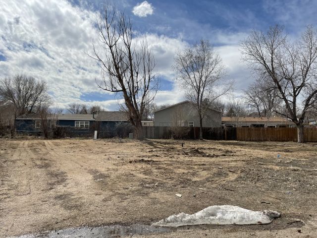
No buildings found.
| Account | Parcel | Account Type | Tax Year | Buildings | Actual Value | Local Govt Assessed Value | School Assessed Value |
|---|---|---|---|---|---|---|---|
| R2681886 | 095926321012 | Residential | 2026 | 80,000 | 5,000 | 5,640 |
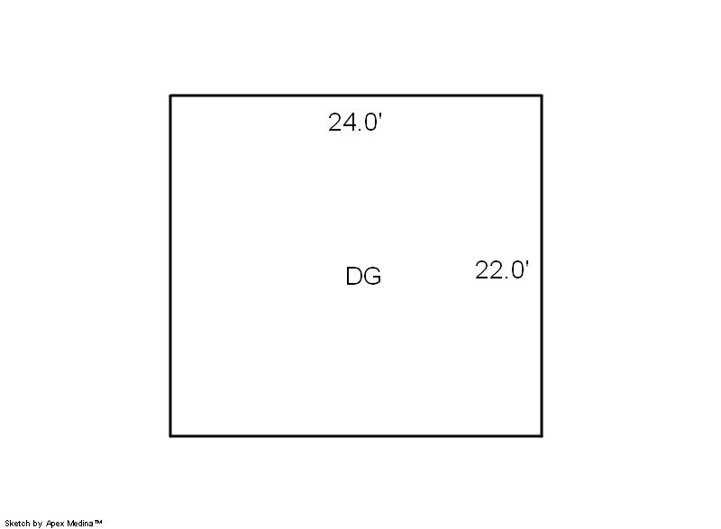
| Type | Code | Description | Actual Value | Local Govt Assessed Value | School Assessed Value | Acres | Land SqFt |
|---|---|---|---|---|---|---|---|
| Land | 1135 | MANUFACTURED HOUSING-LAND | 80,000 | 5,000 | 5,640 | 0.205 | 8,936 |
| Totals | - | - | 80,000 | 5,000 | 5,640 | 0.205 | 8,936 |
Comparable sales for your Residential or Commercial property may be found using our SALES SEARCH TOOL
Values are updated annually on May 1st for Real Property and June 15th for Personal Property and Oil and Gas.
| Account | Parcel | Account Type | Tax Year | Buildings | Actual Value | Local Govt Assessed Value | School Assessed Value |
|---|---|---|---|---|---|---|---|
| R2681886 | 095926321012 | Residential | 2026 | 80,000 | 5,000 | 5,640 |
| Tax Area | District ID | District Name | Local Govt Mill Levy |
School Mill Levy |
Estimated Taxes |
|---|---|---|---|---|---|
| 5728 | 0700 | AIMS JUNIOR COLLEGE | 6.313 | 0.000 | $31.57 |
| 5728 | 0510 | FRONT RANGE FIRE RESCUE FIRE PROTECTION DISTRICT | 11.483 | 0.000 | $57.42 |
| 5728 | 1050 | HIGH PLAINS LIBRARY | 3.044 | 0.000 | $15.22 |
| 5728 | 0301 | NORTHERN COLORADO WATER (NCW) | 1.000 | 0.000 | $5.00 |
| 5728 | 0206 | SCHOOL DIST 6-GREELEY | 0.000 | 47.615 | $268.55 |
| 5728 | 0100 | WELD COUNTY | 15.956 | 0.000 | $79.78 |
| 5728 | 1200 | WEST GREELEY CONSERVATION | 0.414 | 0.000 | $2.07 |
| Total | - | - | 38.21 | 47.615 | $459.60 |
The estimate of tax is based on the prior year mill levy and the 2025 projected assessment rates. Mill levies and tax estimates will be updated yearly on December 22nd for the current year. Additional information can be found at https://assessor.weld.gov