Account: R4461606
April 2, 2026
| Account | Parcel | Account Type | Tax Year | Buildings | Actual Value | Local Govt Assessed Value | School Assessed Value |
|---|---|---|---|---|---|---|---|
| R4461606 | 120726202012 | Commercial | 2026 | 2 | 4,655,407 | 1,256,960 | 1,256,960 |
| Legal |
|---|
| L6PCP LOT 12 LYONS 66 PACIFIC COMMERCE PARK AND VAC PT PACIFIC CIR ROW PARCEL A |
| Subdivision | Block | Lot | Land Economic Area |
|---|---|---|---|
| LYONS 66 PACIFIC COMMERCE PARK | 12 | MEAD SEKICH, VALLEY 66, LYONS 66 |
| Property Address | Property City | Section | Township | Range |
|---|---|---|---|---|
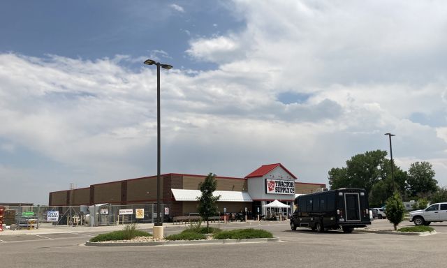
| 13778 E INTERSTATE 25 FRONTAGE RD | MEAD | 26 | 03 | 68 |
| Account | Parcel | Account Type | Tax Year | Buildings | Actual Value | Local Govt Assessed Value | School Assessed Value |
|---|---|---|---|---|---|---|---|
| R4461606 | 120726202012 | Commercial | 2026 | 2 | 4,655,407 | 1,256,960 | 1,256,960 |
| Account | Owner Name | Address |
|---|---|---|
| R4461606 | AEI NET LEASE PORTFOLIO VI DST | 30 7TH ST E STE 1300 SAINT PAUL, MN 551014939 |
| Account | Parcel | Account Type | Tax Year | Buildings | Actual Value | Local Govt Assessed Value | School Assessed Value |
|---|---|---|---|---|---|---|---|
| R4461606 | 120726202012 | Commercial | 2026 | 2 | 4,655,407 | 1,256,960 | 1,256,960 |
| Reception | Rec Date | Type | Grantor | Grantee | Doc Fee | Sale Date | Sale Price |
|---|---|---|---|---|---|---|---|
| 3397412 | NA | SUB | SUBDIVISION | LYONS 66 PACIFIC COMMERCE PARK | 0.00 | NA | 0 |
| 4097960 | 04-10-2015 | SWD | LYONS 66 PACIFIC LLC | DRAKE MEAD PARTNERS LLC | 53.60 | 04-08-2015 | 536,000 |
| 4138086 | 08-31-2015 | SURV | SURVEY | SURVEY | 0.00 | 04-02-2015 | 0 |
| 4138087 | 08-31-2015 | SURV | SURVEY | SURVEY | 0.00 | 09-05-2014 | 0 |
| 4163383 | 12-07-2015 | SURV | SURVEY | SURVEY | 0.00 | 12-07-2015 | 0 |
| 4171561 | 01-08-2016 | SWD | DRAKE MEAD PARTNERS LLC | NLA MEAD LLC | 439.69 | 01-07-2016 | 4,396,900 |
| 4182084 | 02-19-2016 | SURV | SURVEY | SURVEY | 0.00 | 02-19-2016 | 0 |
| 4220509 | 07-20-2016 | SWD | NLA MEAD LLC | AEI NET LEASE PORTFOLIO VI DST | 450.20 | 07-15-2016 | 4,502,000 |
| 4270422 | 01-17-2017 | SURV | SURVEY | SURVEY | 0.00 | 01-17-2017 | 0 |
*If the hyperlink for the reception number does not work, try a manual search in the Clerk and Recorder records. Use the Grantor or Grantee in your search.
| Account | Parcel | Account Type | Tax Year | Buildings | Actual Value | Local Govt Assessed Value | School Assessed Value |
|---|---|---|---|---|---|---|---|
| R4461606 | 120726202012 | Commercial | 2026 | 2 | 4,655,407 | 1,256,960 | 1,256,960 |
Building 1
| AccountNo | Building ID | Occupancy |
|---|---|---|
| R4461606 | 1 | Retail |
| ID | Type | NBHD | Occupancy | % Complete | Bedrooms | Baths |
|---|---|---|---|---|---|---|
| 1 | Commercial | 3907 | Retail | 100 | NA | 0.00 |
| ID | Exterior | Roof Cover | Interior | HVAC | Perimeter | Units | Unit Type | Make |
|---|---|---|---|---|---|---|---|---|
| 1 | NA | NA | NA | Package Unit | 620 | 0 | NA | NA |
| ID | Square Ft | Condo SF | Total Basement SF | Finished Basement SF | Garage SF | Carport SF | Balcony SF | Porch SF |
|---|---|---|---|---|---|---|---|---|
| 1 | 22,236 | 0 | 0 | 0 | 0 | 0 | 0 | 0 |
| ID | Built As | Square Ft | Year Built | Stories | Length | Width |
|---|---|---|---|---|---|---|
| 1.00 | Warehouse Discount Store | 22,236 | 2015 | 1 | 0 | 0 |
| ID | Detail Type | Description | Units |
|---|---|---|---|
| 1 | Add On | Asphalt Average | 15600.00 |
| 1 | Add On | Concrete Slab Average | 6723.00 |
Building 2
| AccountNo | Building ID | Occupancy |
|---|---|---|
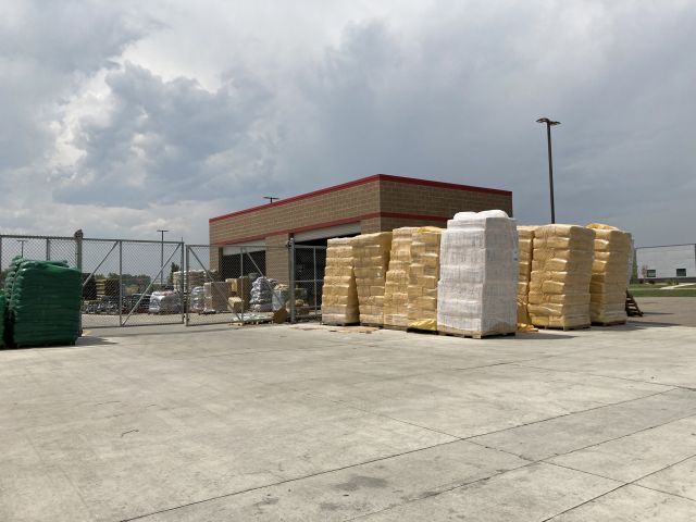
| R4461606 | 2 | Warehouse |
| ID | Type | NBHD | Occupancy | % Complete | Bedrooms | Baths |
|---|---|---|---|---|---|---|
| 2 | Commercial | 3907 | Warehouse | 100 | NA | 0.00 |
| ID | Exterior | Roof Cover | Interior | HVAC | Perimeter | Units | Unit Type | Make |
|---|---|---|---|---|---|---|---|---|
| 2 | NA | NA | NA | None | NA | 0 | NA | NA |
| ID | Square Ft | Condo SF | Total Basement SF | Finished Basement SF | Garage SF | Carport SF | Balcony SF | Porch SF |
|---|---|---|---|---|---|---|---|---|
| 2 | 10,975 | 0 | 0 | 0 | 0 | 0 | 0 | 0 |
| ID | Built As | Square Ft | Year Built | Stories | Length | Width |
|---|---|---|---|---|---|---|
| 2.00 | Equipment Building-Commercial | 10,975 | 2014 | 1 | 0 | 0 |
No Additional Details for Building 2
| Account | Parcel | Account Type | Tax Year | Buildings | Actual Value | Local Govt Assessed Value | School Assessed Value |
|---|---|---|---|---|---|---|---|
| R4461606 | 120726202012 | Commercial | 2026 | 2 | 4,655,407 | 1,256,960 | 1,256,960 |
| Type | Code | Description | Actual Value | Local Govt Assessed Value | School Assessed Value | Acres | Land SqFt |
|---|---|---|---|---|---|---|---|
| Improvement | 2212 | MERCHANDISING-IMPROVEMENT | 2,790,884 | 753,540 | 753,540 | 0.000 | 0 |
| Land | 2112 | MERCHANDISING-LAND | 1,864,523 | 503,420 | 503,420 | 3.567 | 155,377 |
| Totals | - | - | 4,655,407 | 1,256,960 | 1,256,960 | 3.567 | 155,377 |
Comparable sales for your Residential or Commercial property may be found using our SALES SEARCH TOOL
Values are updated annually on May 1st for Real Property and June 15th for Personal Property and Oil and Gas.
| Account | Parcel | Account Type | Tax Year | Buildings | Actual Value | Local Govt Assessed Value | School Assessed Value |
|---|---|---|---|---|---|---|---|
| R4461606 | 120726202012 | Commercial | 2026 | 2 | 4,655,407 | 1,256,960 | 1,256,960 |
| Tax Area | District ID | District Name | Local Govt Mill Levy |
School Mill Levy |
Estimated Taxes |
|---|---|---|---|---|---|
| 5520 | 1050 | HIGH PLAINS LIBRARY | 3.044 | 0.000 | $3,826.19 |
| 5520 | 0306 | LITTLE THOMPSON WATER (LTW) | 0.000 | 0.000 | $0.00 |
| 5520 | 1202 | LONGMONT CONSERVATION | 0.000 | 0.000 | $0.00 |
| 5520 | 0420 | MEAD TOWN | 11.522 | 0.000 | $14,482.69 |
| 5520 | 0972 | MEAD URBAN RENEWAL AUTHORITY | 0.000 | 0.000 | $0.00 |
| 5520 | 0512 | MOUNTAIN VIEW FIRE PROTECTION DISTRICT | 16.342 | 0.000 | $20,541.24 |
| 5520 | 0301 | NORTHERN COLORADO WATER (NCW) | 1.000 | 0.000 | $1,256.96 |
| 5520 | 0213 | SCHOOL DIST RE1J-LONGMONT | 0.000 | 57.717 | $72,547.96 |
| 5520 | 0303 | ST VRAIN LEFT HAND WATER (SVW) | 1.406 | 0.000 | $1,767.29 |
| 5520 | 0620 | ST VRAIN SANITATION | 0.316 | 0.000 | $397.20 |
| 5520 | 0100 | WELD COUNTY | 15.956 | 0.000 | $20,056.05 |
| Total | - | - | 49.586 | 57.717 | $134,875.58 |
The estimate of tax is based on the prior year mill levy and the 2025 projected assessment rates. Mill levies and tax estimates will be updated yearly on December 22nd for the current year. Additional information can be found at https://assessor.weld.gov