Account: R5765886
April 2, 2026
| Account | Parcel | Account Type | Tax Year | Buildings | Actual Value | Local Govt Assessed Value | School Assessed Value |
|---|---|---|---|---|---|---|---|
| R5765886 | 146718318006 | Residential | 2026 | 213,750 | 57,710 | 57,710 |
| Legal |
|---|
| ERI 24731 L1 & E2 L2 BLK4 HUNTS 1ST |
| Subdivision | Block | Lot | Land Economic Area |
|---|---|---|---|
| HUNTS 1ST ADD | 4 | 1 | ERIE TOWN |
| Property Address | Property City | Section | Township | Range |
|---|---|---|---|---|
| 634 MOFFAT ST | ERIE | 18 | 01 | 68 |
| Account | Parcel | Account Type | Tax Year | Buildings | Actual Value | Local Govt Assessed Value | School Assessed Value |
|---|---|---|---|---|---|---|---|
| R5765886 | 146718318006 | Residential | 2026 | 213,750 | 57,710 | 57,710 |
| Account | Owner Name | Address |
|---|---|---|
| R5765886 | ACEVEDO ARMANDO | 2995 S BRYANT ST DENVER, CO 802362820 |
| Account | Parcel | Account Type | Tax Year | Buildings | Actual Value | Local Govt Assessed Value | School Assessed Value |
|---|---|---|---|---|---|---|---|
| R5765886 | 146718318006 | Residential | 2026 | 213,750 | 57,710 | 57,710 |
| Reception | Rec Date | Type | Grantor | Grantee | Doc Fee | Sale Date | Sale Price |
|---|---|---|---|---|---|---|---|
| 3089638 | 07-30-2003 | QCN | CONROE HAROLD A & ALMA LEE | CONROE HAROLD A & | 0.00 | 05-17-2003 | 0 |
| 3255135 | 01-21-2005 | QCN | CONROE HAROLD A (50%) & | CONROE HAROLD A (50%) & | 0.00 | 10-04-2004 | 0 |
| 3431927 | 11-01-2006 | QCN | CONROE HAROLD A 83.33% INT & | CONROE HAROLD A | 0.00 | 10-31-2006 | 0 |
| 406723 | NA | SUB | SUBDIVISION | HUNTS 1ST ADD | 0.00 | NA | 0 |
| 4727528 | 06-21-2021 | PRD | CONROE HAROLD A | ACEVEDO ARMANDO | 35.00 | 06-18-2021 | 350,000 |
| 4800184 | 02-07-2022 | SURV | SURVEY | SURVEY | 0.00 | 10-12-2021 | 0 |
*If the hyperlink for the reception number does not work, try a manual search in the Clerk and Recorder records. Use the Grantor or Grantee in your search.
| Account | Parcel | Account Type | Tax Year | Buildings | Actual Value | Local Govt Assessed Value | School Assessed Value |
|---|---|---|---|---|---|---|---|
| R5765886 | 146718318006 | Residential | 2026 | 213,750 | 57,710 | 57,710 |
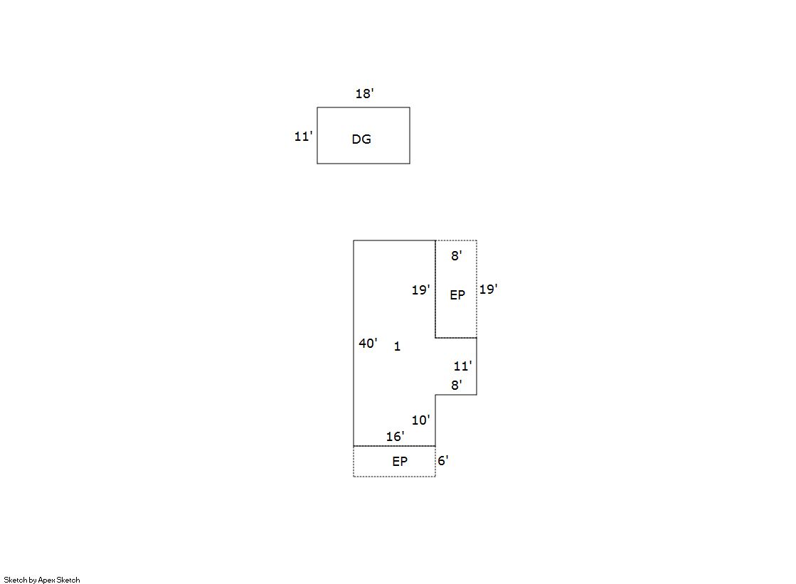
No buildings found.
| Account | Parcel | Account Type | Tax Year | Buildings | Actual Value | Local Govt Assessed Value | School Assessed Value |
|---|---|---|---|---|---|---|---|
| R5765886 | 146718318006 | Residential | 2026 | 213,750 | 57,710 | 57,710 |
| Type | Code | Description | Actual Value | Local Govt Assessed Value | School Assessed Value | Acres | Land SqFt |
|---|---|---|---|---|---|---|---|
| Land | 0100 | VACANT RESIDENTIAL LAND | 213,750 | 57,710 | 57,710 | 0.327 | 14,250 |
| Totals | - | - | 213,750 | 57,710 | 57,710 | 0.327 | 14,250 |
Comparable sales for your Residential or Commercial property may be found using our SALES SEARCH TOOL
Values are updated annually on May 1st for Real Property and June 15th for Personal Property and Oil and Gas.
| Account | Parcel | Account Type | Tax Year | Buildings | Actual Value | Local Govt Assessed Value | School Assessed Value |
|---|---|---|---|---|---|---|---|
| R5765886 | 146718318006 | Residential | 2026 | 213,750 | 57,710 | 57,710 |
| Tax Area | District ID | District Name | Local Govt Mill Levy |
School Mill Levy |
Estimated Taxes |
|---|---|---|---|---|---|
| 5379 | 0949 | ERIE HISTORIC URBAN RENEWAL | 0.000 | 0.000 | $0.00 |
| 5379 | 0404 | ERIE TOWN | 13.237 | 0.000 | $763.91 |
| 5379 | 1050 | HIGH PLAINS LIBRARY | 3.044 | 0.000 | $175.67 |
| 5379 | 0512 | MOUNTAIN VIEW FIRE PROTECTION DISTRICT | 16.342 | 0.000 | $943.10 |
| 5379 | 0301 | NORTHERN COLORADO WATER (NCW) | 1.000 | 0.000 | $57.71 |
| 5379 | 1360 | RTD | 0.000 | 0.000 | $0.00 |
| 5379 | 0213 | SCHOOL DIST RE1J-LONGMONT | 0.000 | 57.717 | $3,330.85 |
| 5379 | 0100 | WELD COUNTY | 15.956 | 0.000 | $920.82 |
| Total | - | - | 49.579 | 57.717 | $6,192.05 |
The estimate of tax is based on the prior year mill levy and the 2025 projected assessment rates. Mill levies and tax estimates will be updated yearly on December 22nd for the current year. Additional information can be found at https://assessor.weld.gov