Account: R8947112
April 2, 2026
| Account | Parcel | Account Type | Tax Year | Buildings | Actual Value | Local Govt Assessed Value | School Assessed Value |
|---|---|---|---|---|---|---|---|
| R8947112 | 121324400022 | Industrial | 2026 | 192,188 | 51,890 | 51,890 |
| Legal |
|---|
| PT S2SE4 24-3-65 LOT B REC EXEMPT RE-4829 EXC COMM S1/4 COR N00D25' W 30.00 N89D54'E 614.13 N44D54'E 21.21 N89DE 30.55 S00D25'E 45.00 S89D54'W 659.75 TO POB |
| Subdivision | Block | Lot | Land Economic Area |
|---|---|---|---|
| TOWN RANGE 1213 RURAL |
| Property Address | Property City | Section | Township | Range |
|---|---|---|---|---|
| 23751 COUNTY ROAD 30 | WELD | 24 | 03 | 65 |
| Account | Parcel | Account Type | Tax Year | Buildings | Actual Value | Local Govt Assessed Value | School Assessed Value |
|---|---|---|---|---|---|---|---|
| R8947112 | 121324400022 | Industrial | 2026 | 192,188 | 51,890 | 51,890 |
| Account | Owner Name | Address |
|---|---|---|
| R8947112 | ANADARKO E&P ONSHORE LLC | ATTN: STEVE FISHER LAND SURFACE ROCKIES 1099 18TH ST DENVER, CO 802021908 |
| Account | Parcel | Account Type | Tax Year | Buildings | Actual Value | Local Govt Assessed Value | School Assessed Value |
|---|---|---|---|---|---|---|---|
| R8947112 | 121324400022 | Industrial | 2026 | 192,188 | 51,890 | 51,890 |
| Reception | Rec Date | Type | Grantor | Grantee | Doc Fee | Sale Date | Sale Price |
|---|---|---|---|---|---|---|---|
| 3618066 | 04-22-2009 | RE | RECORDED EXEMPTION | RE-4829 | 0.00 | NA | 0 |
| 3964991 | 09-20-2013 | USR | USE BY SPECIAL REVIEW | MUSR13-0011 MINERAL RES. DEV. FAC. | 0.00 | NA | 0 |
| 4133703 | 08-13-2015 | USR | USE BY SPECIAL REVIEW | MUSR14-0025 MINERAL RESOURCE DEV. FAC. | 0.00 | NA | 0 |
*If the hyperlink for the reception number does not work, try a manual search in the Clerk and Recorder records. Use the Grantor or Grantee in your search.
| Account | Parcel | Account Type | Tax Year | Buildings | Actual Value | Local Govt Assessed Value | School Assessed Value |
|---|---|---|---|---|---|---|---|
| R8947112 | 121324400022 | Industrial | 2026 | 192,188 | 51,890 | 51,890 |
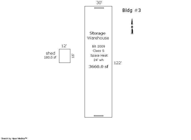
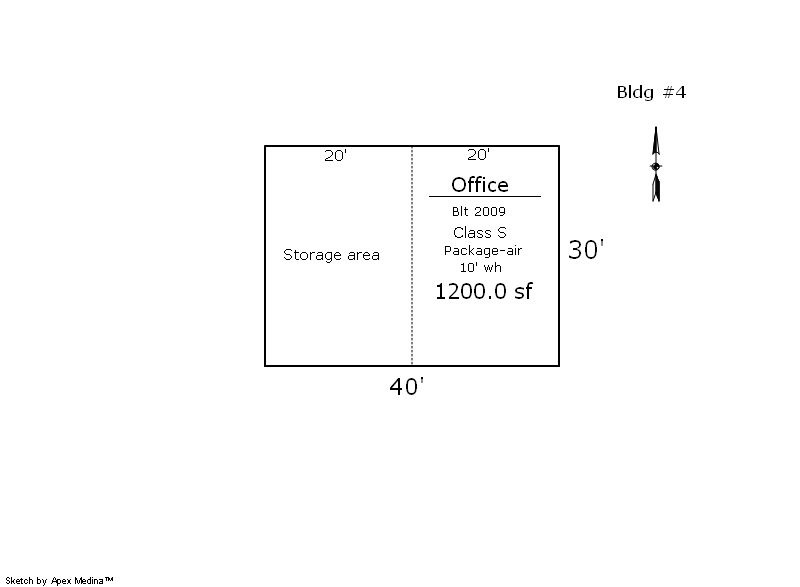
No buildings found.
| Account | Parcel | Account Type | Tax Year | Buildings | Actual Value | Local Govt Assessed Value | School Assessed Value |
|---|---|---|---|---|---|---|---|
| R8947112 | 121324400022 | Industrial | 2026 | 192,188 | 51,890 | 51,890 |
| Type | Code | Description | Actual Value | Local Govt Assessed Value | School Assessed Value | Acres | Land SqFt |
|---|---|---|---|---|---|---|---|
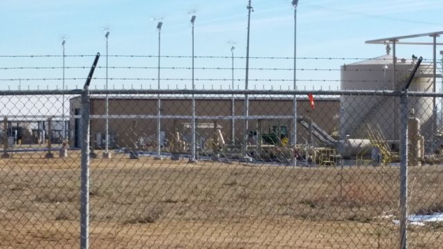
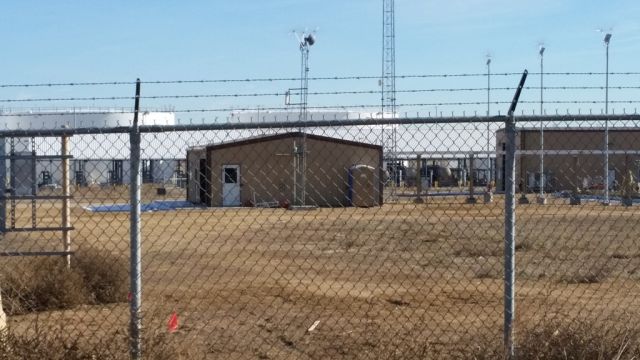
| Land | 3125 | REFINING/PETROLEUM-LAND | 192,188 | 51,890 | 51,890 | 9.530 | 415,127 |
| Totals | - | - | 192,188 | 51,890 | 51,890 | 9.530 | 415,127 |
Comparable sales for your Residential or Commercial property may be found using our SALES SEARCH TOOL
Values are updated annually on May 1st for Real Property and June 15th for Personal Property and Oil and Gas.
| Account | Parcel | Account Type | Tax Year | Buildings | Actual Value | Local Govt Assessed Value | School Assessed Value |
|---|---|---|---|---|---|---|---|
| R8947112 | 121324400022 | Industrial | 2026 | 192,188 | 51,890 | 51,890 |
| Tax Area | District ID | District Name | Local Govt Mill Levy |
School Mill Levy |
Estimated Taxes |
|---|---|---|---|---|---|
| 2181 | 0700 | AIMS JUNIOR COLLEGE | 6.313 | 0.000 | $327.58 |
| 2181 | 0302 | CENTRAL COLORADO WATER (CCW) | 0.980 | 0.000 | $50.85 |
| 2181 | 0309 | CENTRAL COLORADO WATER SUBDISTRICT (CCS) | 1.462 | 0.000 | $75.86 |
| 2181 | 1050 | HIGH PLAINS LIBRARY | 3.044 | 0.000 | $157.95 |
| 2181 | 0511 | LASALLE FIRE | 5.154 | 0.000 | $267.44 |
| 2181 | 1201 | PLATTE VALLEY CONSERVATION | 0.000 | 0.000 | $0.00 |
| 2181 | 0201 | SCHOOL DIST RE1-GILCREST | 0.000 | 15.382 | $798.17 |
| 2181 | 0100 | WELD COUNTY | 15.956 | 0.000 | $827.96 |
| Total | - | - | 32.909 | 15.382 | $2,505.82 |
The estimate of tax is based on the prior year mill levy and the 2025 projected assessment rates. Mill levies and tax estimates will be updated yearly on December 22nd for the current year. Additional information can be found at https://assessor.weld.gov